

Discover the Geography Curriculum at West Sussex independent school Sompting Abbotts
Aim
The Geography Department aims to enable our students to gain knowledge and understanding of places in the World. Our teaching increases children’s knowledge of other cultures and, in so doing, teaches a respect and understanding of what it means to be a positive citizen in a multi-cultural country. This involves learning graphic skills (using, drawing and interpreting maps), enabling children to understand environmental problems at a local, regional and global level. Through a range of different activities we encourage in children a commitment to sustainable development and an appreciation of what 'global citizenship' means. Alongside these aims, our students develop a variety of other skills: enquiry, problem-solving, the use of IT, investigation and how to present their conclusions in the most appropriate way.
“Geographies,” said the geographer, “are the books which, of all books, are most concerned with matters of consequence. They never become old-fashioned. It is very rarely that a mountain changes its position. It is very rarely that an ocean empties itself of its waters. We write of eternal things.”
Approach
We work towards targets of the National Curriculum which studies the traditional Geography topics such as rivers and population, but also more modern topics that are driven by globalisation, technological change, sustainability and climate change. These are the key drivers of Geography in the 21st century. In Year 8 Students are working towards Common Entrance or Scholarship according to the ISEB syllabus.
The pupils have access to desktop computers and Chromebooks during their lessons for research, creating documents, spreadsheets, PowerPoints, and for data evaluation and graphical displays. The interactive whiteboard helps pupils to engage with the subject and allows access to the world-wide web for its wealth of information.

Field trip to Birling Gap
Our younger pupils all carry out local fieldwork studies around our beautiful grounds at Sompting Abbotts and also areas in our community such as Shoreham Beach, Daylands Farm, Tesco’s to investigate sourcing of produce and Lancing College to investigate local farming, and others. Investigations have included woods, nature trails, river studies and settlement studies. In Year 8, all pupils commit to carrying out fieldwork to support learning in class, and to collect primary data for their coursework project. This project is a requirement of the Common Entrance exam to their senior schools, and is worth 20% of the final exam.
“So many of the world’s current issues – at a global scale and locally - boil down to geography, and need the geographers of the future to help us understand them. Global warming as it affects countries and regions, food and energy security, the degradation of land and soils from over-use and misuse, the spread of disease, the causes and consequences of migration, and the impacts of economic change on places and communities. These are just some of the challenges facing the next generation, which geographers must help solve.”
What will my child study?
Year 5
Autumn Term: Studying Kenya as a contrasting locality overseas; using atlases to find Kenya, the continent of Africa, surrounding oceans. Comparing climate to Britain. Research climate using climatemps.com. Creating diagrams of land use. Understanding differences between rich and poor communities in Kenya.
Spring Term: Volcanoes and Earthquakes topic. Understanding why these features occur. Distinguishing between active, dormant and extinct volcanoes, to know where these are concentrated globally; to know why and how people live in places where these features occur. Planning preparation for volcano and earthquake events.
Summer Term: Investigating Coasts and Tourism. Identifying coastal environments and naming physical features. Explaining how coastal features are formed. Understanding the pros and cons of tourism in coastal areas specifically local case study of Brighton. Working with OS maps.
Year 6
Autumn Term first half: Climatic Hazards (CE syllabus). Identifying a climatic hazard. To know where in the world hurricanes occur. Look at photographs of hurricane wreckage: who, what, why, when, where? Using ICT to locate relevant information and present work.Understanding how hurricanes start. Recognising the effects of a hurricane on a place. Suggesting ways to be prepared for a hurricane.
Autumn Term second half: The British Isles. Identifying differences between the British Isles, Great Britain and the UK. Placing physical features on maps of the UK, British Isles and Great Britain. Locating major cities on the map of England, drawing upon personal travel experiences of the UK. Understanding tourism opportunities in the UK. planning a feasible “tourist route”, understanding links between the UK and the rest of the world.
Spring Term topic: Energy. Identifying what we use energy for, classifying renewable and non-renewable energy sources. To know the process of producing electricity, understanding the negative impacts of burning fossil fuels. To explain Global Warming and the Greenhouse Effect and to consider future implications. To enable students to project possible future scenarios for the world dependent on energy use. Pupils to design and build eco-homes.
Summer Term topic: Mountain Environments. Locating world mountain ranges, describing how mountains are formed, understanding the process of freeze thaw weathering. To recognise how glaciers work. Understanding air temperature decreases as one gains altitude. Understanding the role of the water cycle in the formation of relief rainfall. Identifying human use of mountainous areas, suggesting ways for tourism in mountainous areas to be sustainable.
Year 7
Autumn Term topic: Rivers and Coasts (Geomorphological processes). Students to learn to differentiate between weathering and erosion. Understanding how particular river and coastal landforms are created. Pinpointing cause and effects of flooding with specific case studies in both LEDCS and MEDCS. Understanding how coastlines change and how these changes can be managed. To be able to refer to case studies of landslides and understand the causes, effects and responses to these.
Spring Term (first half) topic: Ordnance Survey mapwork. Students learn to use scale to aid them in answering OS map questions. To know eight compass points. To learn to give and be given four and six figure grid references to locate things on an OS map. To measure direct and indirect distances on an OS map. To learn how to use OS map skills in completing CE past papers. To draw cross-sections of marked areas of OS maps. To recognise sites for Industry and tourism on OS maps.
Spring Term (second half) and Summer topic: Weather and Climate. Learning to explain difference between weather and climate. To identify climate zones of the world and give reasons for them. To know what determines the climate of the British Isles. To learn to forecast weather using satellite images. To learn how rain forms and to identify three different types. To independently research a hurricane case study, to plan and carry out a fieldwork investigation.
Year 8 (following Common Entrance programme; adjustments made appropriately for Scholarship)
Autumn Term topic: Earthquakes and Volcanoes. To label places of the world on map, to know that plate movements cause earthquakes and volcanoes, to differentiate between three plate margins; to learn to describe what happens when a volcano erupts or an earthquake occurs. To research and present case study of volcanoes, detailing effects and responses to the event.
Spring Term topic (first half): Population and Settlement. To understand why some places are crowded and others relatively empty; to know the meaning of birth rate, death rate, natural increase and migration; to understand the factors which early settlers considered when choosing sites for new settlements, to understand the reasons why some settlements grew and others did not. To learn about settlement hierarchies and the concentric ring model; to have knowledge of a case study of Queen Elizabeth Olympic park a planned or completed housing/facilities project developed in an environmentally sensitive way, working on CE and/or Scholarship practice questions.
Spring Term topic (second half): Transport and Industry (economic processes). Learning to classify Industry into four categories, to understand importance of transport links, assess advantages and disadvantages of different transport types, to have knowledge of planned transport project and discuss economic and environmental costs and benefits; compare challenges faced by dairy farmers in different locations; to name benefits and problems of specific economic activities that are brought to an area; Mock examinations.
Summer Term: Working towards CE and Scholarship.
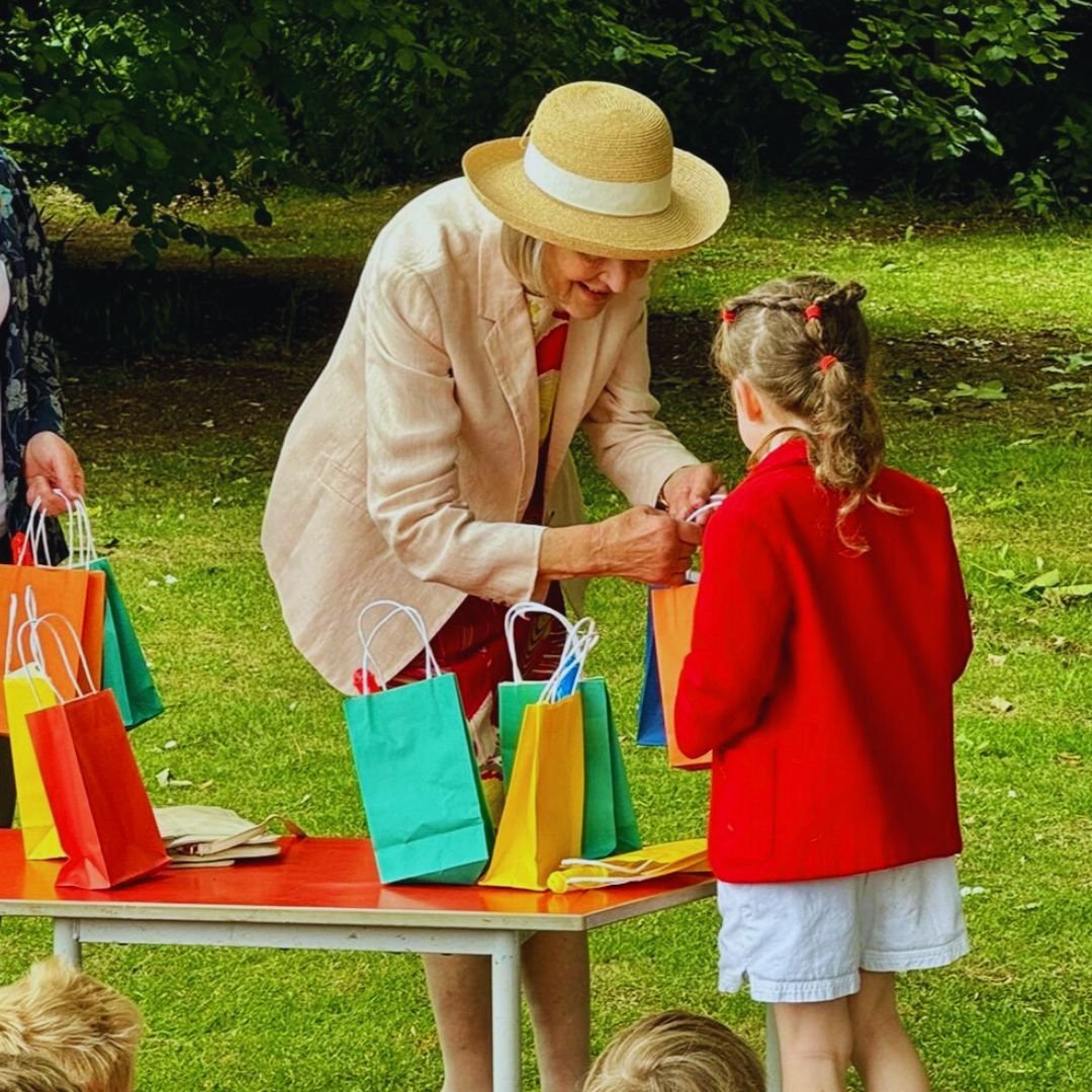
Our Geography Department also always has a Geography Fun Day in either the Spring or Summer Term, which involves Years 3 to 8 working on different activities in our school grounds such as orienteering, making solar powered pizza ovens and constructing eco village models.


For this year’s show at Sompting Abbotts, Oliver! Jr., director Mrs Turton brought Lionel Bart’s beloved musical to life with incredible energy and talent. A huge well done to all our amazing performers, as well as the so many staff and so many parents who helped bring it all together.